
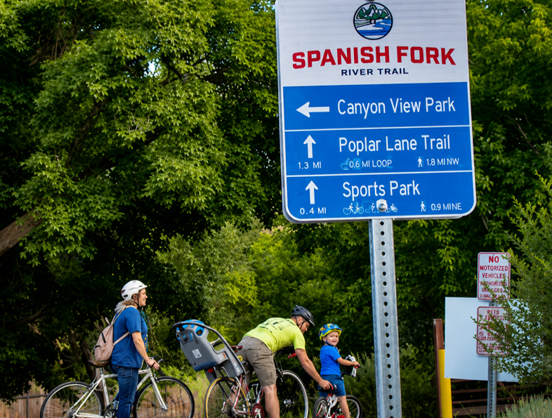
Active Transportation, or human-powered means of getting around such as biking and walking, are an essential part of the transportation system and thriving communities. MAG's partners maintain over 100 miles of paved trails such as the Murdock Canal Trail, the Spanish Fork River Trail, and the Utah Lake Shoreline Trail. Local government leaders have acknowledged active transportation as integral to improving air quality, reducing congestion, and reducing travel costs. As the region grows and urbanizes, the need and demand for multi-use paths, neighborhood connections, on-street bike lanes, sidewalks, and pedestrian-friendly development increases.
The plan is to create a backbone of regional trails that traverse the county and connect into Salt Lake and Wasatch counties. The paved trail network in Utah Valley has been valued and been a growing recreation and transportation option for many years.
Active Transportation Resources

MAG ACTIVE TRANSPORTATION MAP
Explore funded transportation projects across the region. View project locations, funding information, project schedules, and other details.

ACTIVE TRANSPORTATION DATA PORTAL
Explore active transportation datasets, maps and planning resources for the MAG region. Download GIS data related to trails, bicycle facilities, pedestrian networks.

TRANSPLAN50 ACTIVE TRANSPORTATION PRIORITIES
Explore existing and planned active transportation projects across the MAG region in the last RTP.

UTAH'S UNIFIED TRANSPORTATION PLAN
Explore the Unified Plan, a collaborative regional planning effort that helps shape the future of transportation.
UTAH BIKEWAYS
Explore Utah’s bicycle network through the Utah Bikeways interactive map. View existing and planned bikeways, and access information that supports more connected active transportation across the state.
BIKE WALK PROVO
BikeWalk Provo is a local nonprofit organization that promotes bicycling, through community programs, education, and advocacy. Visit their website to learn about volunteer opportunities
Bike walk provo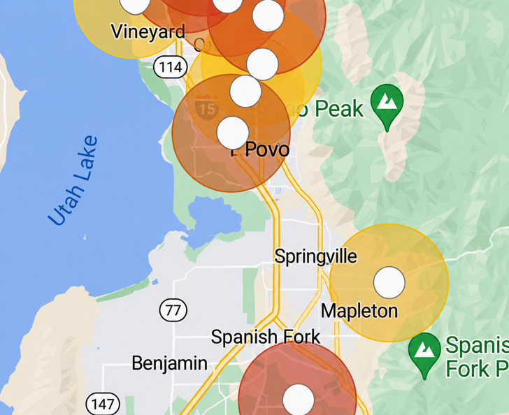
TRAIL COUNTS
MAG maintains a network of trail counters that collect bicycle and pedestrian usage data across the region. View trail activity reports in active transportation facilities.

TRAIL SURVEYS
Explore the Active Transportation Dashboard to view bicycle and pedestrian data across the region. The interactive maps, statistics, and performance measures help track usage trends of active transportation networks.
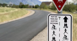
WAYFINDING SIGNS FOR TRAILS
MAG Wayfinding Program provides guidance and resources for developing bicycle and pedestrian wayfinding systems across the region. Learn how signage help improve accessibility.
READ MORE ABOUT WAY fINDING SIGNSLocal AT Plans
SOUTH UTAH COUNTY AT PLAN
SUMMIT COUNTY AT PLAN
WASATCH COUNTY AT PLAN
Active Transportation Facilities
MURDOC CANAL TRAIL
WASATCH LOOP TRAIL
ACTIVE TRANSPORTATION TYPOLOGIES
What We Do
RTP - Regional Transportation Plan
SAP - Station Area Plan Program
TAG - Technical Assistance to Governments Program
TIP - Funded Transportation Projects
Consultant Services
Title VI Information


Minoo Abrishami
Transportation Planner I
801-229-3838
mabrishami@magutah.gov
Kendall Willardson
Transportation Planner Il
801-229-3840
kwillardson@magutah.gov
Shauna Mecham
Planner and Air Quality Analyst
801.900.7699
smecham@magutah.gov
Active Transportation Staff

Minoo Abrishami
Transportation Planner I
801.229.3838
mabrishami@magutah.gov

Shauna Mecham
Planner and Air Quality Analyst
801.900.7699
smecham@magutah.gov

Kendall Wilardson
Transportation Planner ll
801.900.7699
kwillardson@magutah.gov