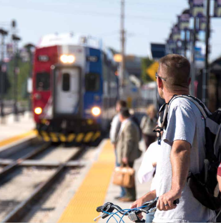
Station Area Plans help communities plan for the future around public transit stations. These plans coordinate land use, housing, transportation, walking and biking, and economic development to create connected and vibrant places. Under HB 462 (2022), all cities with a ‘fixed-guideway’ public transit station (i.e., light rail, commuter rail, or bus-rapid transit) must develop a Station Area Plan (SAP) for applicable stations and update their general plan and zoning accordingly. The state has provided funding through MAG to support the development of these plans. SAP Objectives book.
SAP Key Objectives
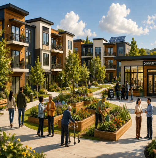
- Increase the availability and affordability of housing, including moderate income housing
- Enhance access to opportunities (e.g., employment, education, recreation, and commerce)
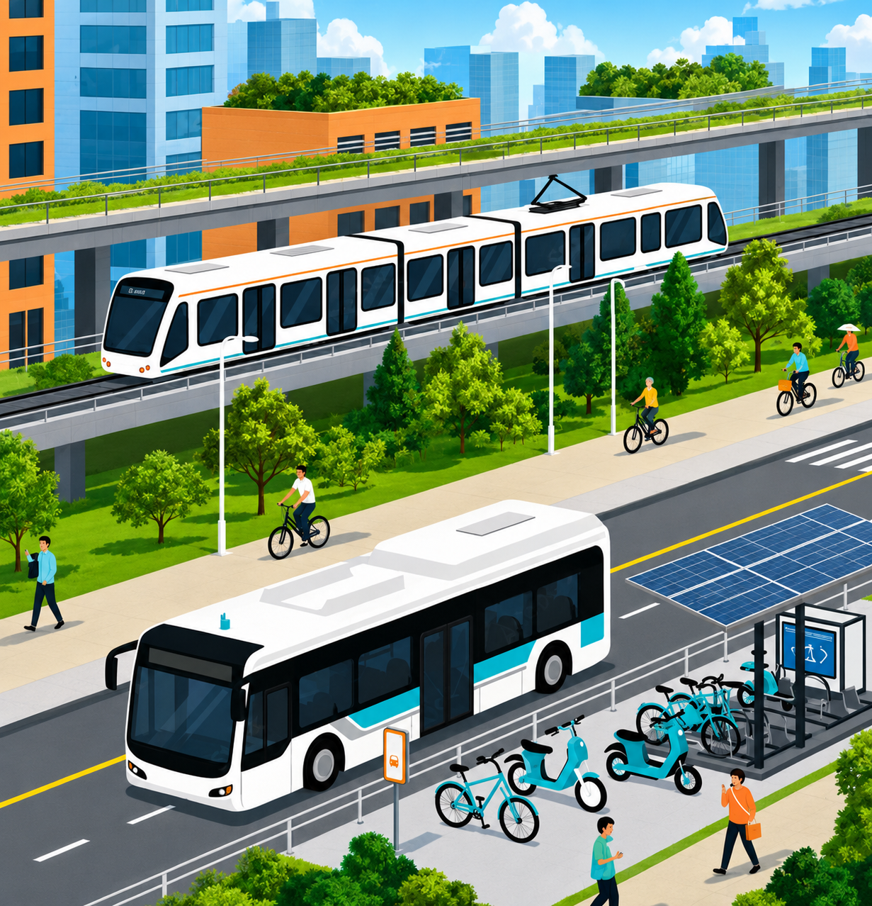
- Increase transportation choices and connections
- Promote sustainable environmental conditions
Under HB 462 (2022), all cities with a ‘fixed-guideway’ public transit station (i.e., light rail, commuter rail, or bus-rapid transit) must develop a Station Area Plan (SAP) for applicable stations and update their general plan and zoning accordingly. The state has provided funding through MAG to support the development of these plans. SAP Objectives book.
SAP Related Resources




SAP Technical Assistance


Active/Completed SAP Projects
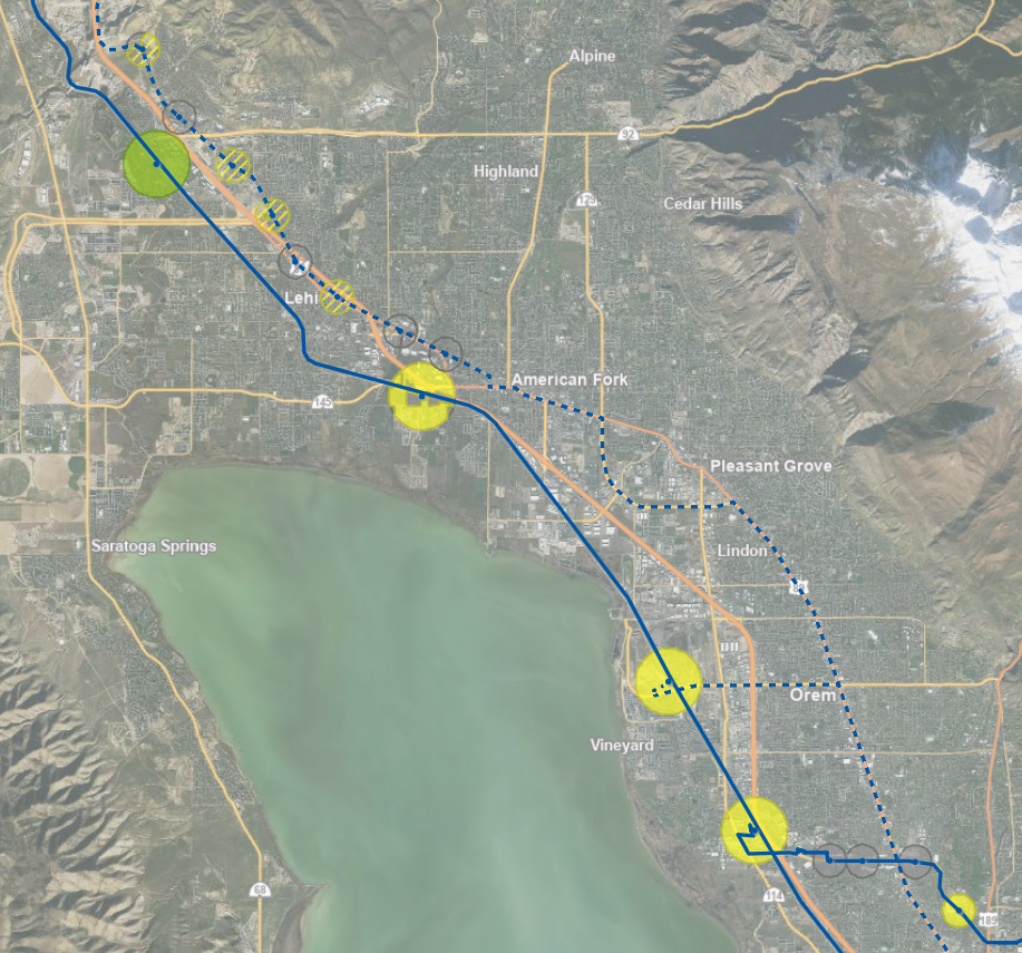
American Fork FrontRunner
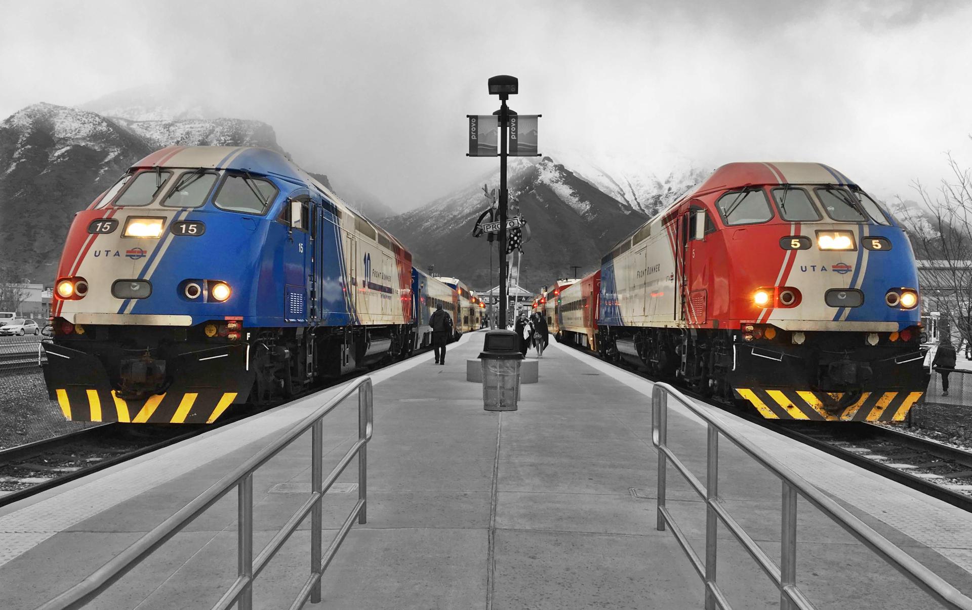
This project will update the existing FrontRunner SAP and ensure that all HB 462 requirements have been met. The city previously established a transit oriented development zone with significant density requirements; however, much of the 1/2 mile station area is already committed to transportation right of ways (i.e., I-15 interchange, mainline I-15, rail line) and existing commercial development. Existing conditions will be updated; transportation and land use objectives will be reevaluated; public and community stakeholders will be engaged; and key actions and responsible parties needed to implement the plan will be mapped.
Detailed Work Scope CERTIFICATION FOR AMERICAN FORKCERTIFICATION FOR LEHI PARTSTATION AREA PLANProvo Station
This station will serve as the northern transit gateway to Lehi City and the MAG region. The plan will be designed to accommodate either bus rapid transit (i.e., UVX) or light rail (i.e., TRAX) since the mode has not yet been determined. Access to this station is limited; however, there is substantial vacant land available for transit-oriented development and the Utah Southern Rail Trail provides a unique opportunity to link the station to the region's extensive trail network. The Flight Park State Recreation Area will also be considered.
Detailed Work Scope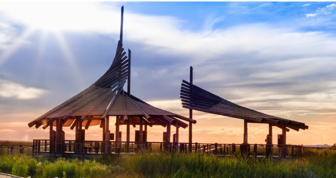
Lehi Hospital & 2100 N
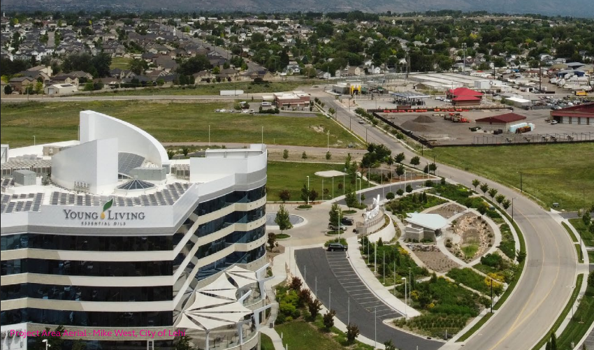
This station will serve the city's growing high-tech and healthcare centers. The plan will be designed to accommodate either bus rapid transit (i.e., UVX) or light rail (i.e., TRAX) since the mode has not yet been determined. Both stations are major employment centers with substantial vacant land opportunities for continued growth, but feature large surface parking lots that are not conducive to a transit. This plan will help connect existing development and better orient future development to the transit station, enhance walkability, and development strategies for optimizing underutilized land.
Detailed work scopeCERTIFICATION STATION AREA PLANLehi Historic State St./100 E Station
This station area plan is being combined with a Technical Assistance for Governments (TAG) Program award to for the Lehi Downtown Revitalization Plan Update since the two geographic planning boundaries partially overlap and will work in tandem to achieve overlapping objectives. It will be designed to accommodate either bus rapid transit (i.e., UVX) or light rail (i.e., TRAX) since the mode has not yet been determined. Key focus areas include first- and last-mile active transportation connections between the station and downtown as well as integration with the planned rail trail.
detailed work scopeReCOMMENDED FOR CERTIFICATIONSTATION AREA PLAN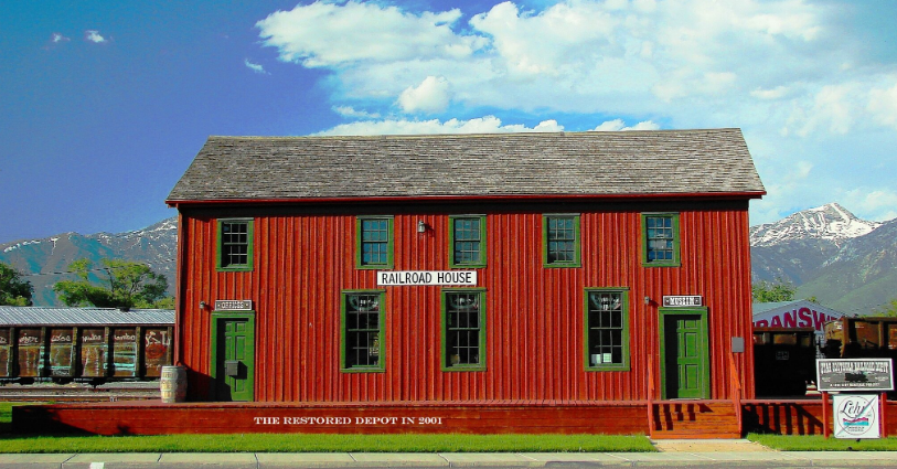
Orem FrontRunner
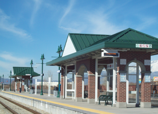
Orem City’s previously-adopted station plan will be updated to meet all HB 462 requirements. Technical assistance provided to the city will allow for a robust community and stakeholder engagement process to explore opportunities and challenges and create a community-supported vision. Key objectives include coordination with UVU and context sensitive design that enhances surrounding established neighborhoods.
detailed work scopeProvo FrontRunner & UVX
The city is developing four SAPs covering six UVX stations and the Provo FrontRunner Station. Stations located in close proximity will be consolidated into one integrated SAP. For consistency and efficiency, the SAPs will be developed concurrently and have the same outline, and will allow Provo City and stakeholders to work together toward a common vision to improve transportation; increase housing availability and affordability; improve access for residents, commuters, and visitors; and promote sustainable transit and development patterns to meet the needs of Provo’s diverse and growing population. SAP technical assistance is specifically being used to update the existing conditions and administer a robust community engagement process
detailed work scopepROVO FRONTRUNNER & 400 S SAPCERTIFICATION.jpg)
Spanish Fork FrontRunner
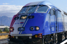
In coordination with the TAG-funded city-wide general plan land use update, the city will develop a Station Area Plan for the future FrontRunner Station. The city will work with UTA on siting the station and update the land use plan to orient land use toward the station and ensure convenient multimodal access to the station (Plan in process).plan in processOrem UVX
Orem uvx main street sapimpracticability certificationorem uvx lakeview station sapimpracticability certificationorem university place sapimpracticability certification
Vineyard FrontRunner
The Vineyard FrontRunner Station opened for service in August 2022. A land use plan for a new 350 acre downtown has been developed to maximize future economic development and provide housing that is needed within Vineyard and the region. This project will expand the station area plan boundaries from 350 acres (Downtown) on the westside of the FrontRunner rail line, to include approximately 430 acres east of the railroad. The project will evaluate existing environmental conditions; establish a road and trail network and design standards that effectively connect to the UVU campus, Vineyard Downtown, and East Geneva; create a plan for land uses and access to employment; and analyze future utility needs and environmental remediation
DETAILED WORK SCOPE VINEYARD FRONTRUNNER STATIONCERTIFICATION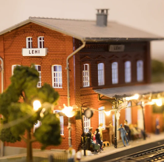

Lehi north gateway sapCERTIFICATION
SAP Policy Committee & Certification Process
MAG and Wasatch Front Regional Council (WFRC) are responsible for reviewing and certifying that Station Area Plans, as prepared by respective cities, have met all statutory requirements of H.B. 462. The SAP Policy Committee has been established to oversee the certification process.
Membership
- Mayors of cities with an existing station subject to HB 462 planning requirements (i.e., Mayors of Lehi, Payson, American Fork, Orem, Provo, Springville, Spanish Fork, and Vineyard City)
- Non-voting Member - Cameron Diehl, Utah League of Cities and Towns
- Non-voting Member - Utah State Representative Kay Christofferson
Certification Process Resources

What We Do
RTP - Regional Transportation Plan
SAP - Station Area Plan Program
TAG - Technical Assistance to Governments Program
TIP - Funded Transportation Projects

Dan Wayne
Community Planning & Economic Development Manager
801-229-3824
dan.wayne@magutah.gov