 Overview Map
Welcome to the MAG Grid Tool.
You can explore the map on the right to see the layers used in this study, or use the other grid tools by clicking on the buttons below.
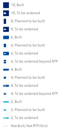
This map has layers to show optimum spacing for the grid network and projects that will help implement the grid network.
 Projects
 Economic
 Safety
 Mobility
Commute
Mobility
Commute
 Mobility
Employment
Mobility
Employment
City Plans' Network Population
Unknown

Percent Increase of Population
Unknown

Grid Network Population
Unknown

City Plans' Network Job Access
Unknown

Percent Increase in Job Access
Unknown

Grid Network Job Access
Unknown

City Plans' Network people
Unknown

Percent Increase in access
Unknown

Grid Network People
Unknown

City Plans' Weekly Commute Time (min)
Unknown

Grid Weekly Commute Time (min)
Unknown

Pct Decrease in Time
Unknown

Annual Commute Savings (hrs)
Unknown
